|
|
Stephen Mullens
@srmullens.bsky.social
[ View ] |
A new paper is out with an update on the our understanding of tornado cyclogenesis - how tornadoes form. 🧪
doi.org/10.1175/BAMS...
0 replies 7 reposts 14 likes
|
Tim Supinie@plustssn.bsky.social |
204 followers 126 following 312 posts
Hydrometeor connoisseur 💧❄️🌪️ / Electron herder 💻 / Rhythmic airbender 🎸🎶 / Amateur edible chemist 🍞🍳 / Heather's worse half 👫 / OU SoM alum 👨🎓
|
|
Stephen Mullens
@srmullens.bsky.social
[ View ] |
A new paper is out with an update on the our understanding of tornado cyclogenesis - how tornadoes form. 🧪
doi.org/10.1175/BAMS...
0 replies 7 reposts 14 likes
|
|
Tim Supinie
@plustssn.bsky.social
[ View ] |
And now multiple line styles and thicknesses in the same contour set.
0 replies 0 reposts 1 likes
|
|
Tim Supinie
@plustssn.bsky.social
[ View ] |
Science is too stuffy. I need to see "dick plume" somewhere in that manuscript.
1 replies 0 reposts 2 likes
|
|
Tim Supinie
@plustssn.bsky.social
[ View ] |
Not one thing specifically, there's just a lot of hand-wringing about election stuff. And not just here, either, Twitter (when I get on) and Youtube have similar things. I don't need or want that kind of negativity nonstop for the next 4 months.
1 replies 0 reposts 1 likes
|
|
Tim Supinie
@plustssn.bsky.social
[ View ] |
I'm really gonna have to rethink my relationship with social media for the next 4 months. (At least.)
5 replies 0 reposts 7 likes
|
|
Tim Supinie
@plustssn.bsky.social
[ View ] |
Switching to the CPU contouring made the contour labels doable, but it also made dashed contours easier/doable. So here's dashed contours. Still need to decide how to plumb this through to the user.
1 replies 0 reposts 3 likes
|
|
Harry Stevens
@harrystevens.bsky.social
[ View ] |
How accurate is the weather forecast in your city?
Niko Kommenda and I learned that NWS just began doing gridded assessments of forecast accuracy. We got the data and mapped of how many days into the future they get within 3°F of the observed high temp.
www.washingtonpost.com/climate-envi...
29 replies 145 reposts 449 likes
|
|
Tim Supinie
@plustssn.bsky.social
[ View ] |
Also, if you're using URMA for your truth, I think you're probably getting the max hourly temperature, not the high temperature. Those two things are close, but could be off by a degree or two. (The same thing applies for the low temperature, but it's probably worse for the low.)
0 replies 0 reposts 1 likes
|
|
Tim Supinie
@plustssn.bsky.social
[ View ] |
Cool stuff! I wonder how it would change if you used median error instead of mean. I suspect that in the early part of the forecast, the mean might be skewed by a few really bad misses (particularly in the cool season).
1 replies 0 reposts 1 likes
|
|
Alex Lamers
@alexlamers.bsky.social
[ View ] |
BREAKING: Hurricane #Beryl becomes the earliest Category 5 on record in the Atlantic basin.
5 replies 32 reposts 104 likes
|
|
Tim Supinie
@plustssn.bsky.social
[ View ] |
And colormaps applied to contours, too.
1 replies 0 reposts 4 likes
|
|
Tim Supinie
@plustssn.bsky.social
[ View ] |
More autumnplot-gl stuff. I've reworked the colormaps internally to make it easier to apply colormaps to more plot types. So here are wind barbs colored by magnitude.
1 replies 0 reposts 3 likes
|
|
Tim Supinie
@plustssn.bsky.social
[ View ] |
Breaking early-season activity records from 1933 and 2005 certainly isn't what you want to see.
1 replies 16 reposts 43 likes
|
|
Ian Livingston
@ianlivingston.bsky.social
[ View ] |
#Beryl lookin' about perfect on visible satellite. June!
2 replies 4 reposts 23 likes
|
|
Alex Lamers
@alexlamers.bsky.social
[ View ] |
Hurricane #Beryl now has the distinction of being the earliest Category 4 hurricane on record in the Atlantic basin. Strengthening continues.
0 replies 19 reposts 35 likes
|
|
Randall Munroe
@xkcd.com
[ View ] |
Bad Map Projection: Exterior Kansas xkcd.com/2951
28 replies 150 reposts 1181 likes
|
|
Tim Supinie
@plustssn.bsky.social
[ View ] |
Sunset storm north of the OKC metro earlier this evening.
0 replies 1 reposts 6 likes
|
|
Tim Supinie
@plustssn.bsky.social
[ View ] |
I like how he makes the leap from "this is about heat" to "this is about climate change." Seems to happen a lot with these folks.
1 replies 0 reposts 2 likes
|
|
Tim Supinie
@plustssn.bsky.social
[ View ] |
Yes! I subclassed PolarAxes, PolarTransform, and PolarAffine and was able to reuse most of that code in making the custom projection.
0 replies 0 reposts 2 likes
|
|
Tim Supinie
@plustssn.bsky.social
[ View ] |
Also, if you're curious, these images use what I guess I'm calling an "equal area polar" projection. It's a polar projection, but the radius is scaled such that twice the data value is twice the *area* of the bar not twice the length. I think this results in a better visual representation of values.
1 replies 0 reposts 3 likes
|
|
Tim Supinie
@plustssn.bsky.social
[ View ] |
Probably the final presentation for these images unless I decide to do bootstraps or something. I moved the bars to the center of the hour to reflect electricity consumption occurring over the hour, not at the top of the hour. I also shaded alternating hours to help visually group the bars.
1 replies 1 reposts 7 likes
|
|
Tim Supinie
@plustssn.bsky.social
[ View ] |
You can probably estimate A/C usage pretty well from this graphic. Red is warm season (May-September) and blue is cool season (all other times). The A/C switches to afternoon mode at 11am and doesn't run much for the next 3 hours. Then it keeps the house livable until the big cooldown at 7pm.
0 replies 0 reposts 0 likes
|
|
Tim Supinie
@plustssn.bsky.social
[ View ] |
Playing around with our electricity usage data from the last 3 years. A/C switches to evening cool mode at 7pm. The laundry bump on weekends is also apparent (A/C program is the same on weekdays and weekends).
2 replies 1 reposts 5 likes
|
|
Dr. Alicia M Bentley
@aliciambentley.bsky.social
[ View ] |
Would you like to be my coworker? 🌎
EMC is looking for a Physical Scientist (GS-13/14) to lead the verification and evaluation of subseasonal and seasonal environmental modeling systems. The position is accepting applications from June 6 to June 20 🌐:
www.usajobs.gov/job/794476800
0 replies 2 reposts 3 likes
|
|
Jeremy Gibbs
@jeremygibbs.com
[ View ] |
Jack Hales served as lead forecaster for SPC for 36 years, until his retirement in 2011. Here he is center, with Steve Corfidi (left) and Bob Johns (right) in 1984 (via Wikipedia). What a life.
0 replies 7 reposts 15 likes
|
|
Tim Supinie
@plustssn.bsky.social
[ View ] |
It's certainly been moist in Texas the last couple weeks, which is where we've been focused most of the time in the HWT Spring Forecasting Experiment. Lots of extreme-CAPE days contributing to events like yesterday's 7am MCS through Dallas with 80 mph winds.
1 replies 0 reposts 2 likes
|
|
Tim Supinie
@plustssn.bsky.social
[ View ] |
Well, that hodograph explains some things. Didn't expect to see 3 km AGL winds out of the southwest at 20 kts on the evening sounding.
0 replies 0 reposts 4 likes
|
|
Tim Supinie
@plustssn.bsky.social
[ View ] |
Maybe? It would have to be pretty thick to cut down on solar radiation enough to matter. Another thing we'll have to watch.
0 replies 0 reposts 1 likes
|
|
Tim Supinie
@plustssn.bsky.social
[ View ] |
For example, the 3km NAM has a lot more right movers, which would be much more of a tornado threat (left is HRRR, right is 3km NAM). So the exact nature of the threat this evening (as usual) will come down to convective-scale details.
0 replies 0 reposts 1 likes
|
|
Tim Supinie
@plustssn.bsky.social
[ View ] |
The HRRR has this environment in central OK this evening with cells moving in ... but they're left movers (split from convection in TX when the hodographs are straighter). I'm guessing those would be a mondo hail threat and not so much a tornado threat. Not sure it would play out like that, though.
2 replies 0 reposts 5 likes
|
|
Tim Supinie
@plustssn.bsky.social
[ View ] |
After tomorrow's high-end tornado threat to the I-35 corridor in OK (the third in the last month), I'm ready for northwest flow MCS season.
0 replies 0 reposts 2 likes
|
|
Tim Supinie
@plustssn.bsky.social
[ View ] |
Yeah, that's closer to what I expect from pattern recognition than the 00Z run. Wish it wasn't *directly over I-35* (and specifically Norman) though. 😬
0 replies 0 reposts 2 likes
|
|
Tim Supinie
@plustssn.bsky.social
[ View ] |
Pretty sure that was the 00Z HRRR. The NAM3k keeping residual capping is not too surprising, but last night's HRW-FV3 with nothing south of I-70 was a little surprising.
0 replies 0 reposts 0 likes
|
|
Tim Supinie
@plustssn.bsky.social
[ View ] |
We'll see if we get enough lift for a storm to take advantage of it. (From a pattern recognition standpoint, I'm not sure how we don't get at least one or two storms, but guidance has been trending downward on that...)
3 replies 0 reposts 1 likes
|
|
Tim Supinie
@plustssn.bsky.social
[ View ] |
Spectacular footage from a tornado in Iowa yesterday. (I think this is the tornado that later hit Greenfield? Not 100% sure on that.) Many suction vortices visible rotating around the larger tornado.
1 replies 1 reposts 2 likes
|
|
Tim Supinie
@plustssn.bsky.social
[ View ] |
Also, closer to home, lots of boundaries visible from KTLX. Based on Oklahoma Mesonet obs, the front either has stalled or will probably stall soon in southwest OK. It should continue to push eastward in eastern OK for a bit longer.
0 replies 0 reposts 1 likes
|
|
Tim Supinie
@plustssn.bsky.social
[ View ] |
Cold fronts are an unusual forcing mechanism for big tornado events due to 1) typically unfavorable boundary orientation and 2) strong mesoscale lift. Today seems to be an exception with a favorable boundary orientation in IA and storms moving quickly out of the zone of ascent.
0 replies 1 reposts 3 likes
|
|
Tim Supinie
@plustssn.bsky.social
[ View ] |
No, my wife and I were chasing on our own and stumbled upon everyone.
0 replies 0 reposts 1 likes
|
|
Tim Supinie
@plustssn.bsky.social
[ View ] |
We saw y'all at the gas station in Arnett, but I didn't get a chance to say hi before you left.
1 replies 0 reposts 1 likes
|
|
Tim Supinie
@plustssn.bsky.social
[ View ] |
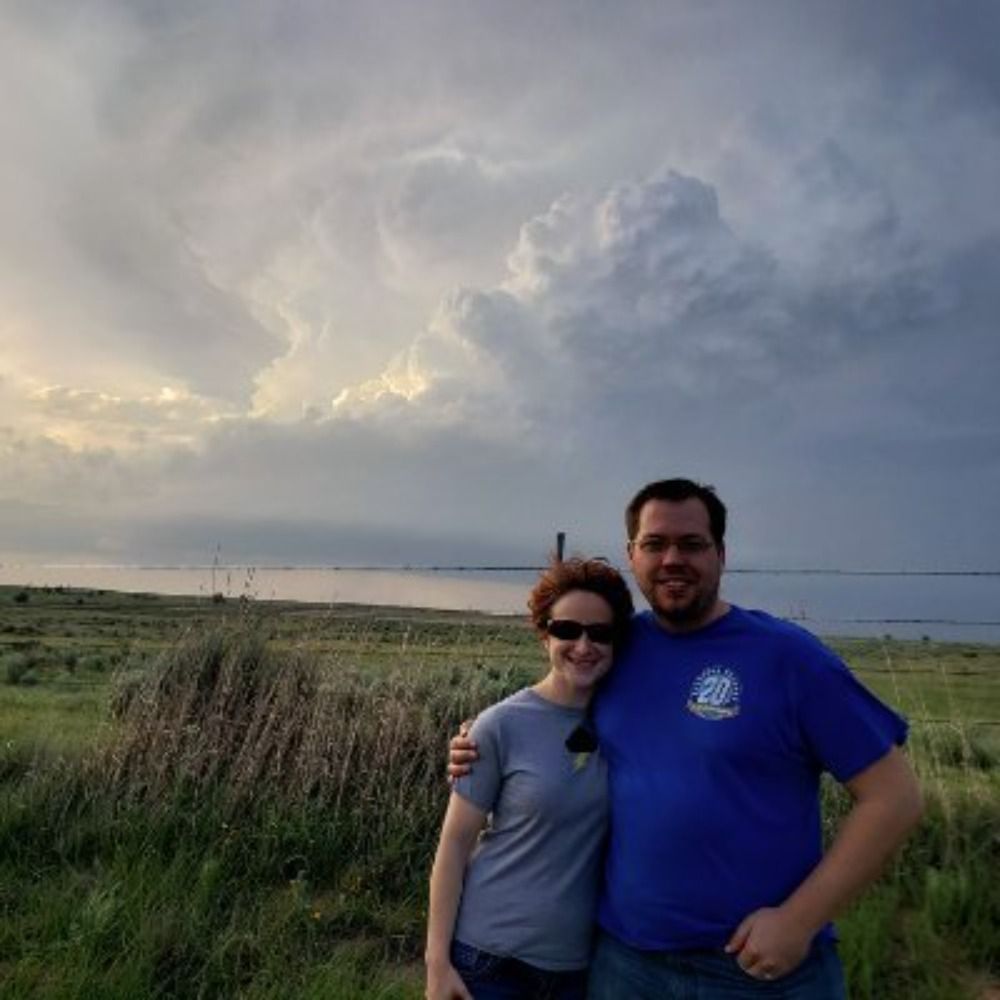
One of my favorite shots this evening east of Roll, OK. We probably didn't see the tornado near Custer City (too far east at the time).
0 replies 0 reposts 6 likes
|
|
Tim Supinie
@plustssn.bsky.social
[ View ] |
Looks like "GFS overmixes to hell" season arrived early this year.
0 replies 0 reposts 4 likes
|
|
Tim Supinie
@plustssn.bsky.social
[ View ] |
I've released autumnplot-gl v3.0. Major changes:
* Added contour label support
* Added an `addField()` function to make it easier to keep data in CPU RAM when it's not being displayed
* Added overflow and underflow colors to the color bar
* Various bug fixes
github.com/tsupinie/aut...
0 replies 0 reposts 7 likes
|
|
Tim Supinie
@plustssn.bsky.social
[ View ] |
In the HWT Spring Forecasting Experiment this year, we're evaluating some of the new AI models like GraphCast, Pangu Weather, and FourCastNet with the GFS. Specifically, we're looking at 500 mb patterns conducive to severe weather on day 7. The comparison is here: hwt.nssl.noaa.gov/sfe_viewer/2...
0 replies 2 reposts 12 likes
|
|
Tim Supinie
@plustssn.bsky.social
[ View ] |
Late brunch of pancakes and blackberry syrup.
0 replies 0 reposts 3 likes
|
|
Tim Supinie
@plustssn.bsky.social
[ View ] |
Probably the best aurora shot I got with my phone at Canton Lake, OK this evening. @climbingfox.bsky.social probably got some better ones with her DLSR.
0 replies 0 reposts 5 likes
|
|
Tim Supinie
@plustssn.bsky.social
[ View ] |
I'm skeptical that 2-5 km wiggle meant much. I bet if you put that 03Z profile into WRF or CM1 it produces something as close to an intense tornado as the grid spacing will allow. Not that a model perfectly represents the real world, but for the supercell dynamics you're invoking, it should do okay.
1 replies 0 reposts 0 likes
|
|
Tim Supinie
@plustssn.bsky.social
[ View ] |
Though given the state of knowledge in 2024, if I'm on the outlook desk, I issue a high risk in roughly that place 10/10 times. If not that setup, then for what? If we're struggling to say in hindsight why it didn't work, it's even tougher to pick up on the ahead of time.
1 replies 0 reposts 7 likes
|
|
Tim Supinie
@plustssn.bsky.social
[ View ] |
Or 3) 🤷♂️ I'm not going to use the "b" word, but clearly things didn't go as expected. I have some guesses. I'm not sure it can be traced back to a single thing wrong, but several independent things. I might think on this a little more and come up with some supporting graphics in a few days.
1 replies 0 reposts 6 likes
|
|
Ian Livingston
@ianlivingston.bsky.social
[ View ] |
High risk inbound for the tornado threat in OK/KS today. www.spc.noaa.gov/products/md/...
2 replies 6 reposts 11 likes
|
|
Tim Supinie
@plustssn.bsky.social
[ View ] |
Yeah, the bias for CAMs is to fire storms a bit too late. Not sure it would make too much of a difference in the overall evolution, though.
1 replies 0 reposts 1 likes